


Google Earth Flight Simulator: The Return of Aviation's Favourite Way to Get Lost Without Leaving Home
By Garth Calitz

Long before ultra-realistic cockpits, virtual air traffic controllers and flight simulators that required computers with the processing power of a small nation, there was Google Earth Flight Simulator.
Hidden away like an aviation Easter egg in the original desktop version of Google Earth, it allowed anyone with a keyboard and a sense of adventure to leap into the cockpit and explore the world. It wasn't particularly realistic, the aircraft seemed to have an interesting relationship with the laws of physics and landings often resembled controlled demolitions, but none of that mattered. It was enormous fun!!!
Now Google has brought Flight Simulator back as part of the web-based Google Earth experience, giving aviation enthusiasts another excuse to tell their families they're "just going flying for a few minutes." Three hours later, they'll still be somewhere over the Andes trying to remember where they left Cape Town.
Unlike Microsoft Flight Simulator or X-Plane, Google Earth's Flight Simulator doesn't expect you to memorise hundreds of cockpit switches or spend twenty minutes programming a flight management computer before moving an inch.
You simply climb in, open the throttle and go.
No weight-and-balance calculations.
No fuel planning.
No ATC asking you to "expedite your climb."
And best of all, no landing fees.
The simulator is designed for exploration rather than procedural accuracy, making it accessible to anyone curious about seeing the world from above. The Entire Planet is Your Playground. Few flight simulators can genuinely claim to let you fly almost anywhere on Earth; Google Earth can.
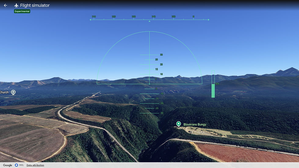
Fancy following the Garden Route? Go for it. Granted, the Blaukrans bungee bridge does look like it melted in the December Eastern Cape sun, but it is still fun.
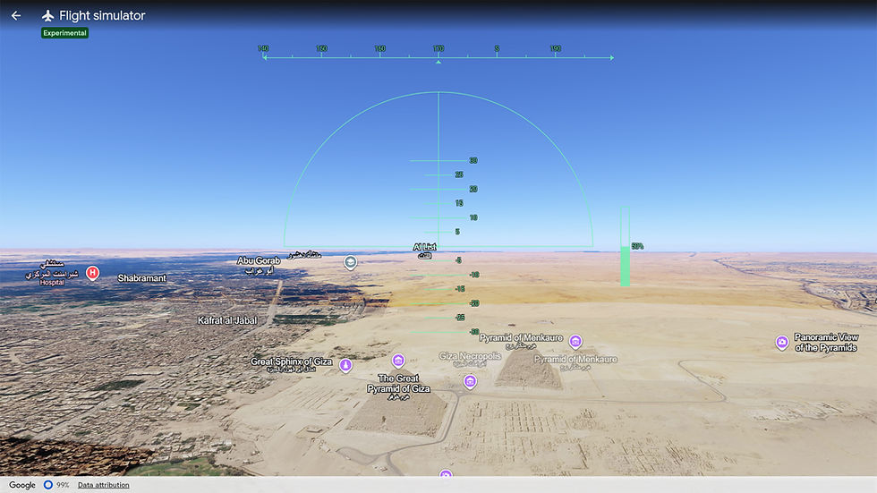
Always wondered what pyramids actually look like from a few thousand feet? Just point the nose north and have a look.
With Google's continually improving satellite imagery and detailed 3D cities, there's always something new to discover. It's the closest most of us will get to owning an aircraft capable of flying from Johannesburg to Tokyo without stopping for fuel... or coffee.
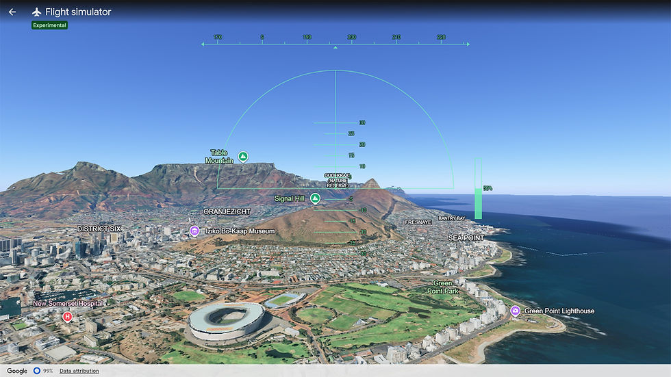
For local aviation enthusiasts, the simulator provides a fantastic way to appreciate South Africa's spectacular scenery. Fly along the rugged Wild Coast, weave through the Drakensberg, orbit the Union Buildings, or admire Cape Town from above before attempting the sort of approach that would probably have your instructor reaching for the sick bag.
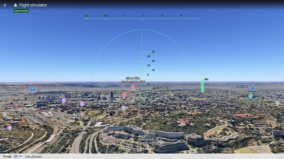
Even familiar airports take on a new perspective. O.R. Tambo, Cape Town International, Lanseria and King Shaka all become destinations for virtual sightseeing, without the queues at security or the price of airport coffee.
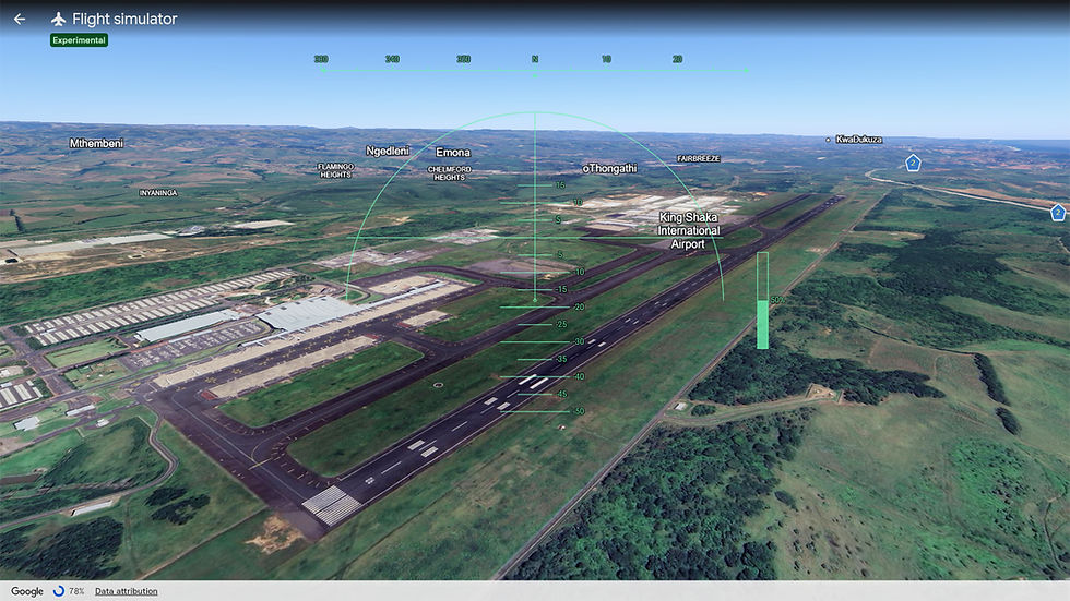
Many pilots trace their passion for aviation back to simple computer simulations. Google Earth's Flight Simulator may not teach instrument procedures or engine-out procedures, but it does encourage curiosity about flying, geography and navigation. It also teaches one universal aviation lesson remarkably well: Mountains are much taller than they look on a map.
Some arrivals would make an aircraft accident investigator sigh heavily before reaching for another cup of coffee. Runways were optional. Fields, beaches and occasionally office buildings became perfectly acceptable substitutes. Fortunately, the reset button was always just a click away, making it one of the few aircraft where "Oops" was considered a normal part of the checklist.
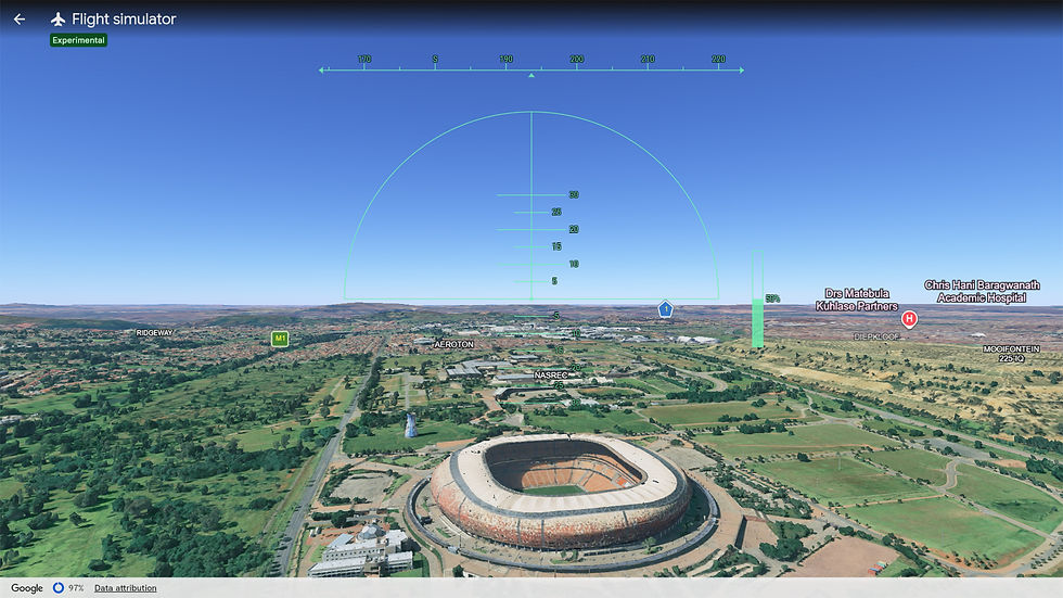
Modern flight simulators have reached astonishing levels of realism, complete with live weather, accurate avionics, real-world navigation databases and flight models capable of exposing every less-than-perfect landing. Google Earth isn't trying to compete. Instead, it reminds us why many of us fell in love with aviation in the first place: the freedom to explore.

Sometimes the destination isn't important. Sometimes it's simply about seeing what lies beyond the next mountain range, or discovering that your "quick flight around the block" has somehow turned into an accidental circumnavigation of the globe.
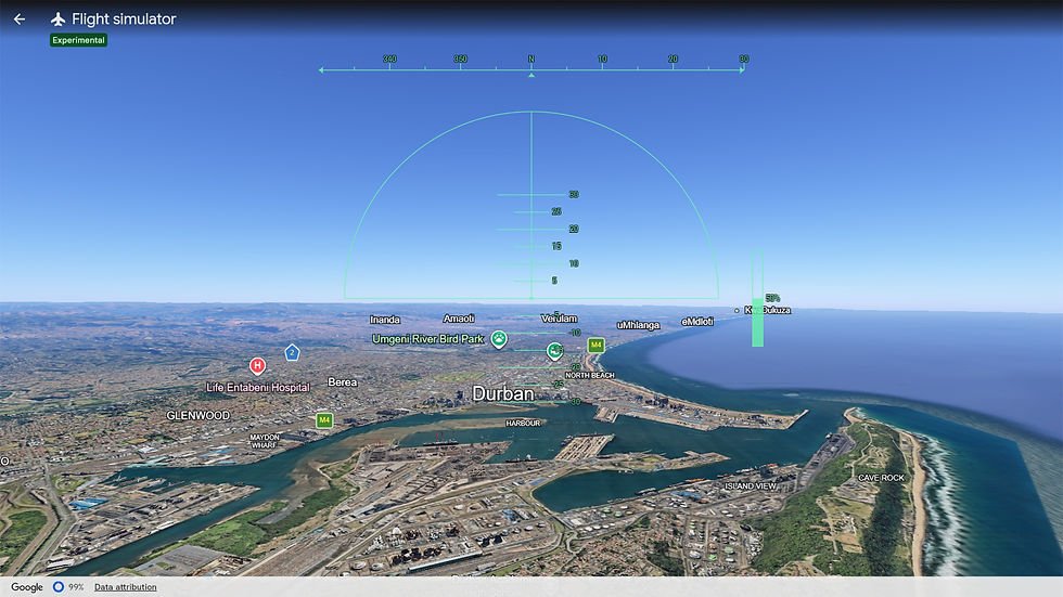
Google Earth's Flight Simulator won't replace the serious simulators used by airline captains, military pilots or dedicated enthusiasts with home cockpits worth more than the family car, but that's entirely the point. It's simple, relaxing, surprisingly addictive and guaranteed to make you look at our planet with fresh appreciation. Just don't expect your first landing to earn applause, especially if it's on the south lawn of the White House. If anything, your virtual passengers may quietly decide to take the train home.

I'm currently figuring out how to use my joystick, which hopefully will make the aircraft a bit easier to control. I'm sure some wonderful soul out there will have made a YouTube tutorial on how to achieve this seemingly impossible task.
After all, in Google Earth Flight Simulator, the journey is what matters and if your landing leaves a perfectly aircraft-shaped crater, well... nobody has to fill in the paperwork.





Comments